Aerial Intelligence
Mapping Suite
Indigenised Photogrammetry
with Uncompromised Precision
System Capabilities
What is AIMS 3D?
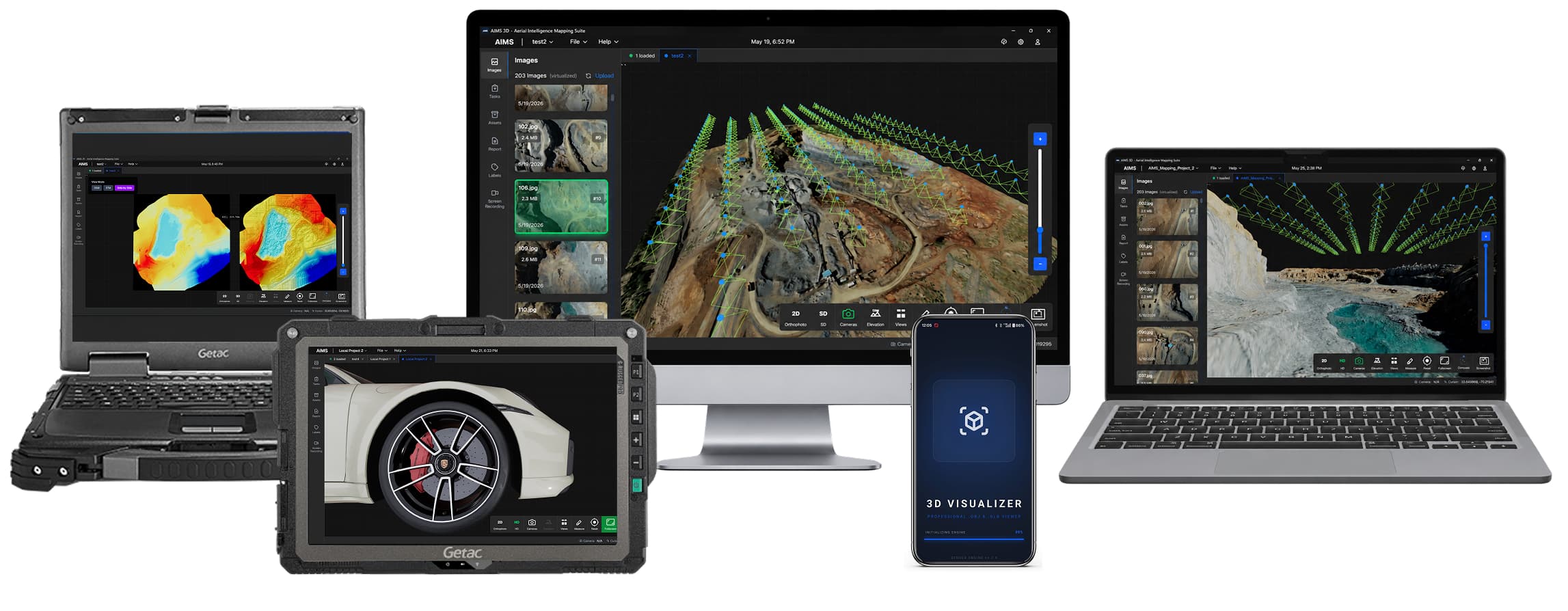
AIMS 3D is a photogrammetry software that takes a set of overlapping photographs and turns them into accurate, georeferenced 2D maps and 3D textured models. Purpose-built for mission-critical geospatial operations, AIMS 3D automates the entire photogrammetric pipeline, from image alignment and dense point cloud generation to mesh reconstruction, DSM/DTM production, and orthomosaic export. AIMS 3D is developed prioritising operational ease, such that no training is required to begin operations with the software.
98% Mapping Precision
RTK/PPK and image sync enables ultra-clear 2D/3D textured maps with sub-cm survey-grade accuracy.
5x Processing Power
AI optimizes CPU/GPU to render high-quality 3D models 5× faster, cutting hours to minutes.
Intuitive Command Interface
Simple 5-step guided workflow with 4 quality presets delivers great results; photogrammetry expertise not needed.
No Limit on Images
If the computer has the capacity, AIMS 3D can process with no upper limit on the number of images.
AIMS3D Workflow
AIMS 3D Workflow
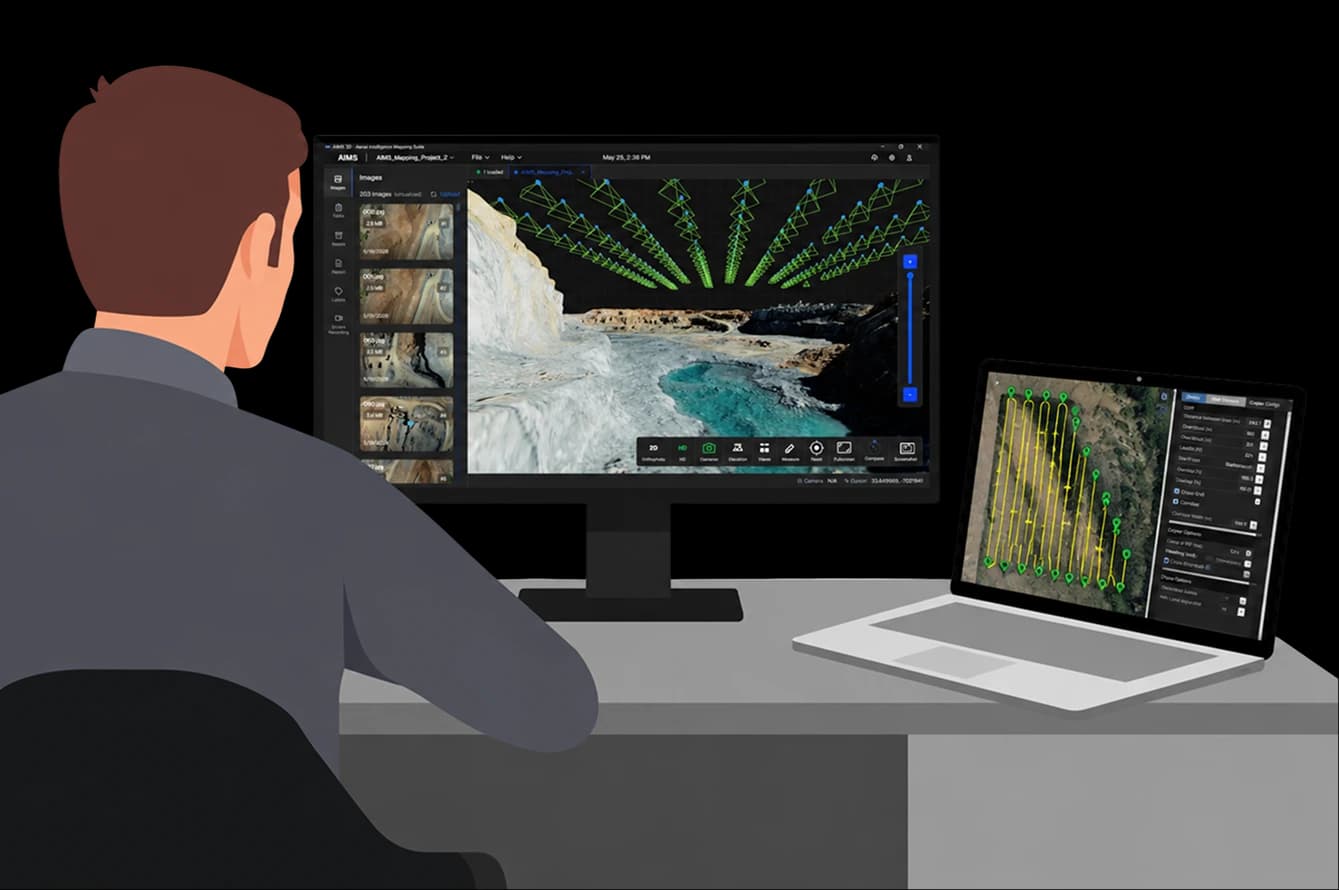
Stop wrestling with fragmented workflows. AIMS 3D automates the journey from drone launch to actionable 3D intelligence in four intuitive phases.
Mission Planning
Plan your drone mission according to the mapping requirements.
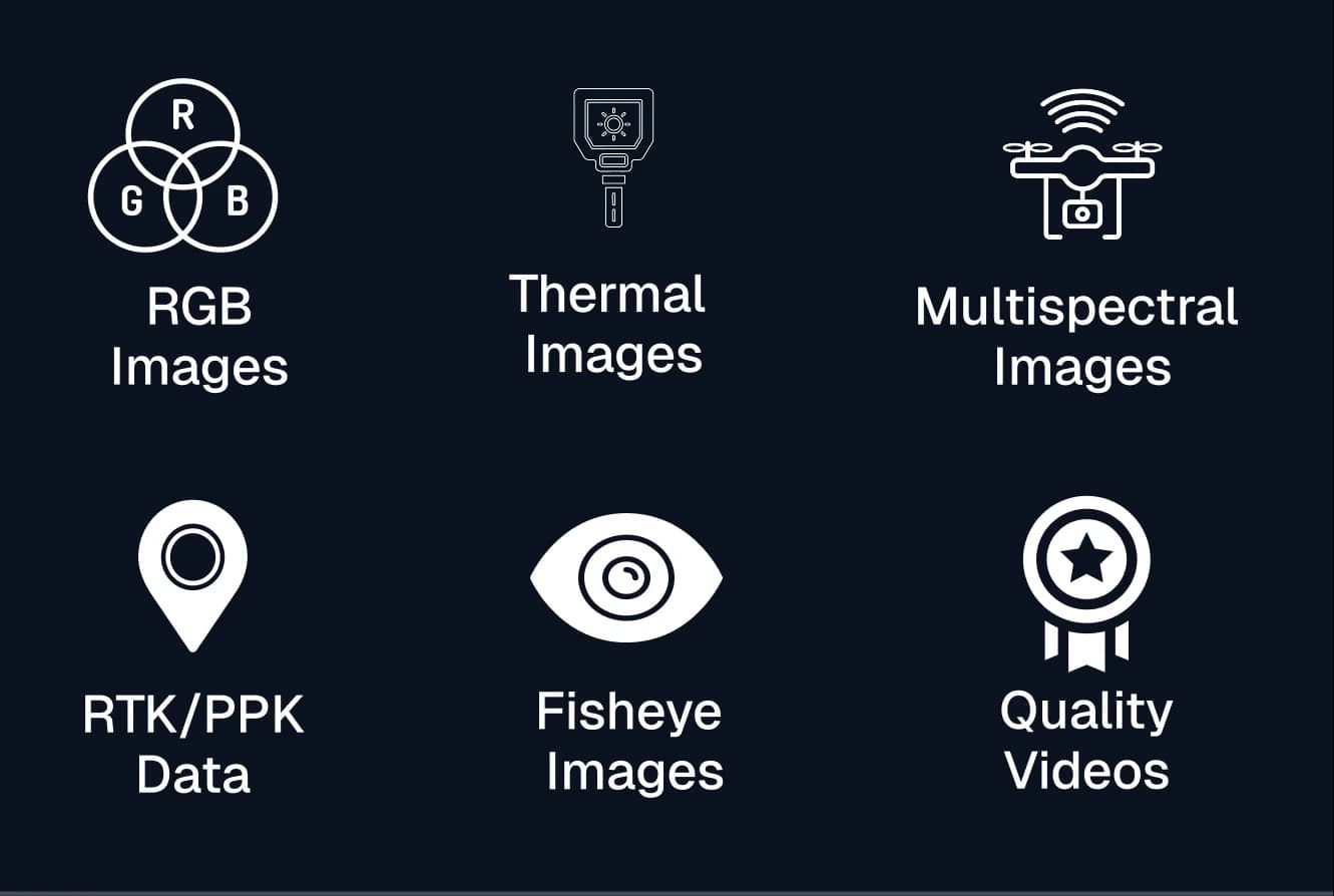
Select the Hardware
Use any camera to capture imagery. Integrate RTK/PPK for precise results.
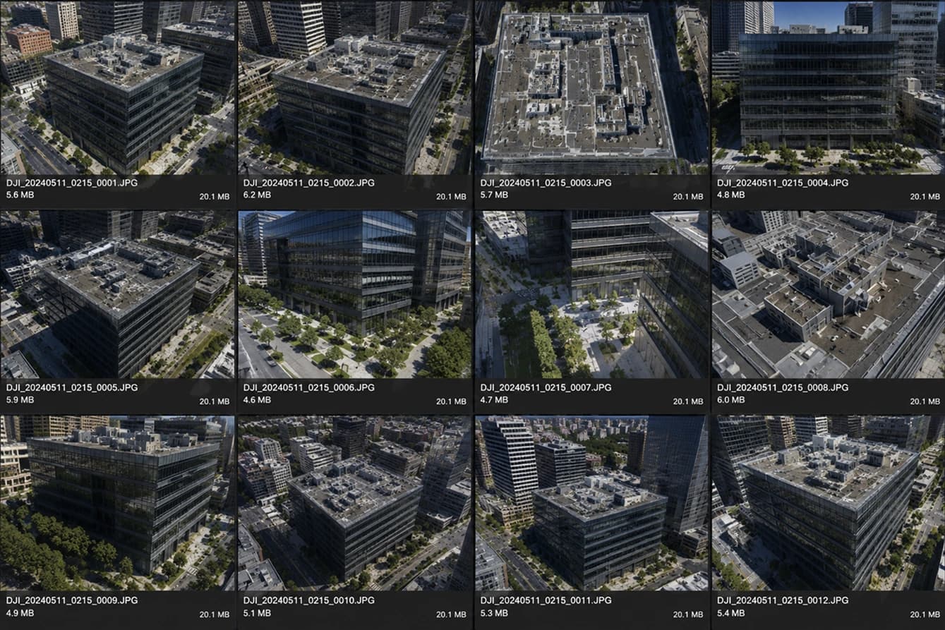
Get Ready for AIMS
Upload images & GCP in software to get final outputs.
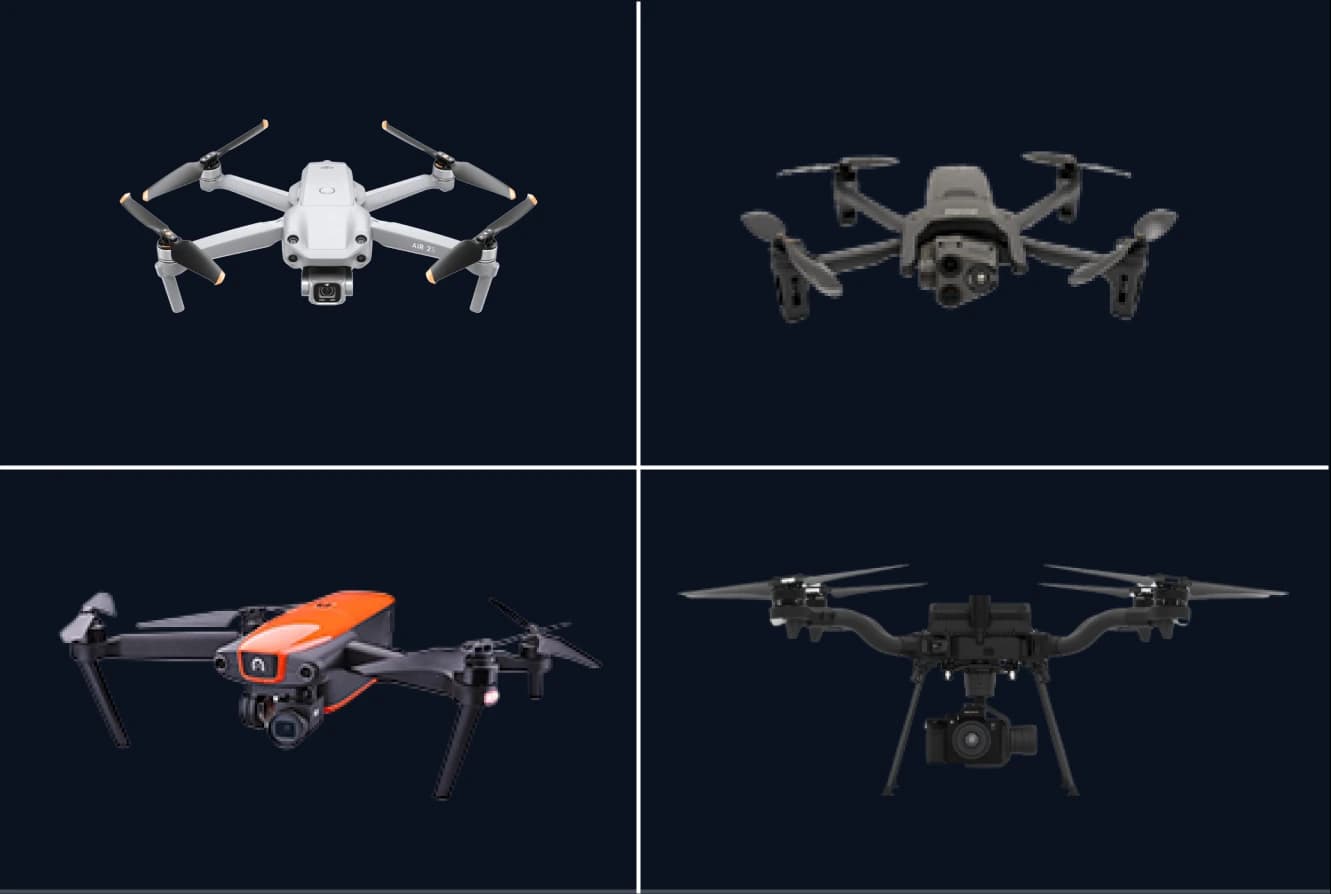
Upload The Mission
In-software mission planning coming soon.
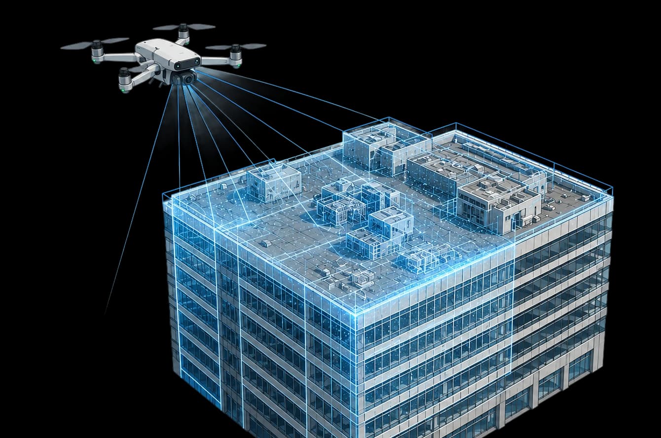
Capture Images
Drone follows the planned mission & capture the imagery at intervals.
Field of Application
View the Outputs of AIMS 3D
Mapping & Surveying
AIMS 3D processes aerial imagery into survey-grade geospatial products in a guided workflow. It generates georeferenced orthomosaics with Google Earth–comparable accuracy. With LiDAR and sufficient computing power, it can merge multiple projects to map the entire Earth. Every output includes a quality report with accuracy, calibration, and reconstruction statistics.
Features
Mapping Details
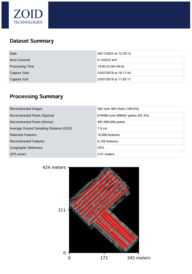
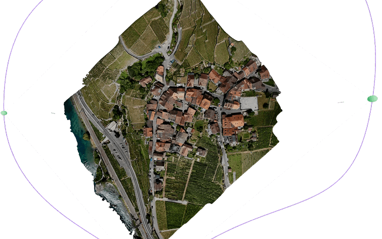
988453 sq. mtr. of area mapped with 1600+ images shown below
2-5 cm Accuracy
Highly precise GPS accuracy achieved by RTK/PPK integration & GCP inputs
5x Processing Time
Complete map processed within 27 minutes on a ruggedized server
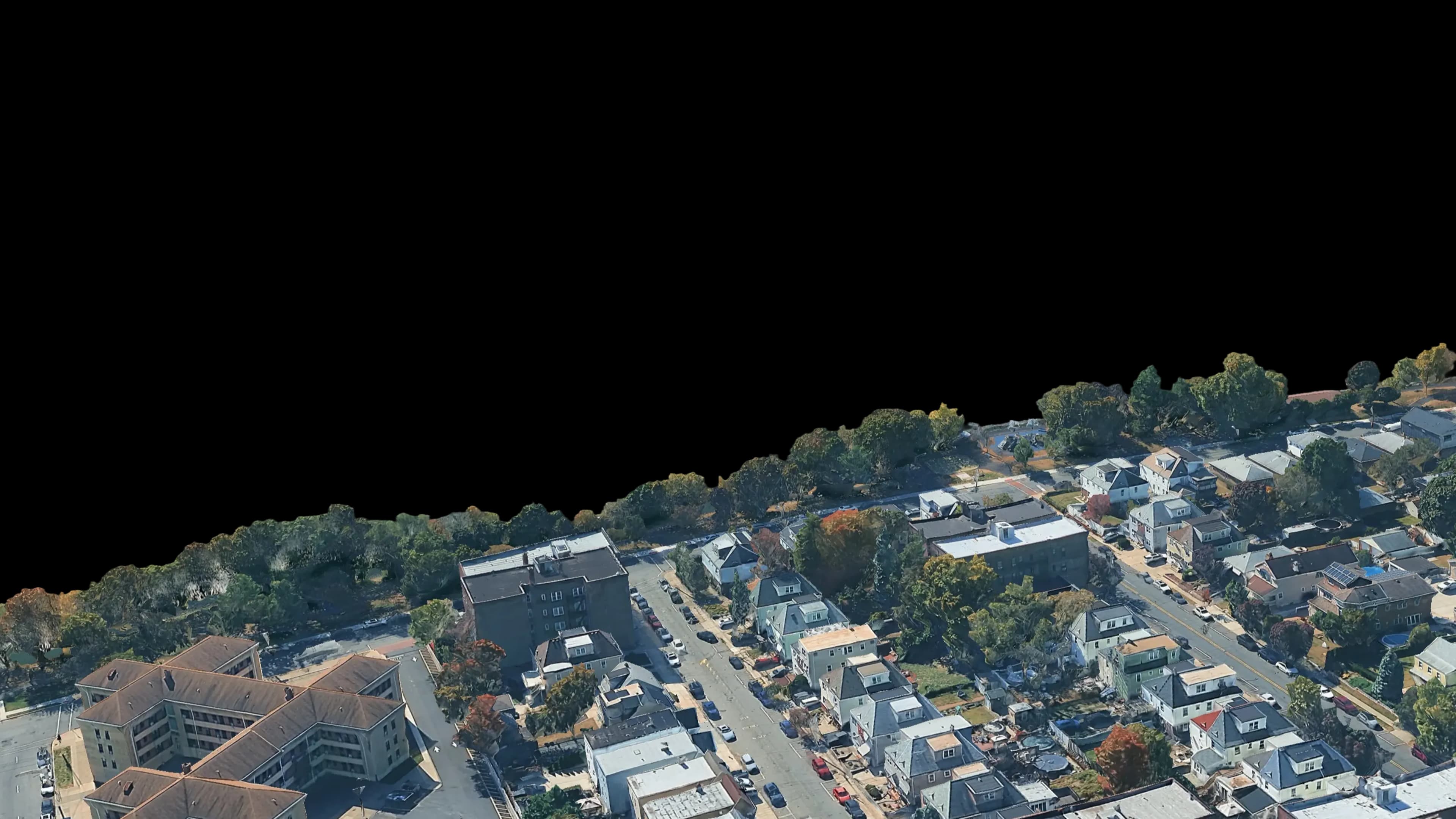
Field of Application
View the Outputs of AIMS 3D
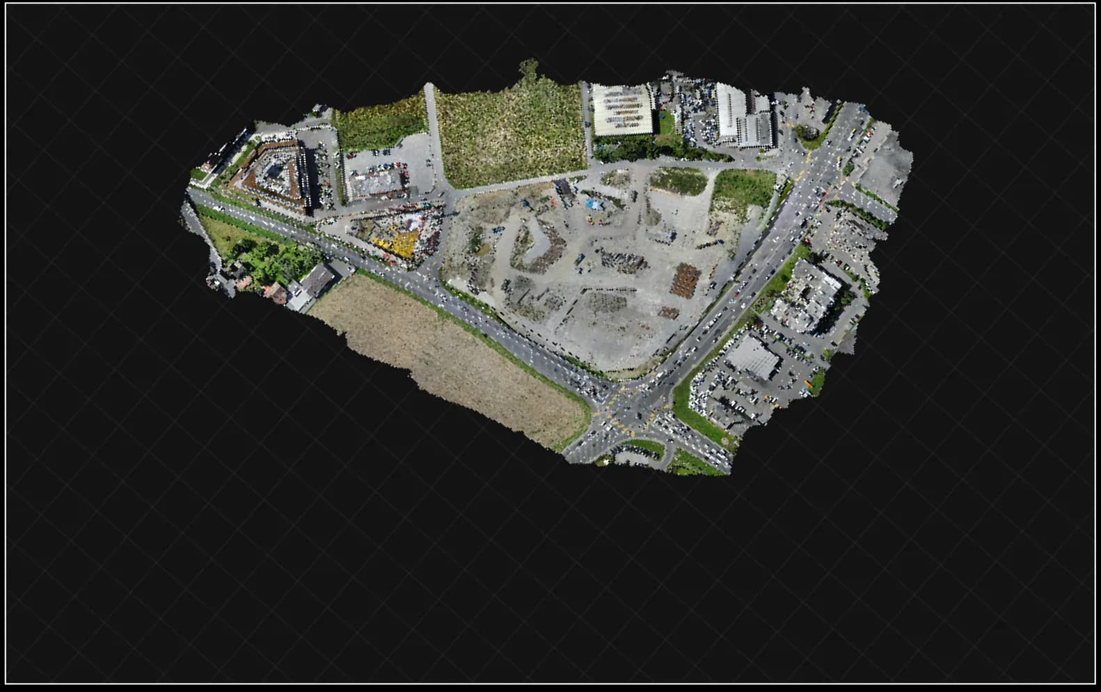
2D Orthophoto
.tif, .jpg, .png
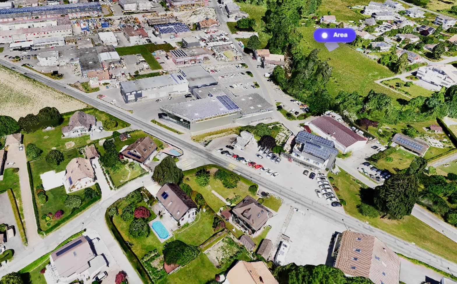
3D Textured Map
.obj, .ply
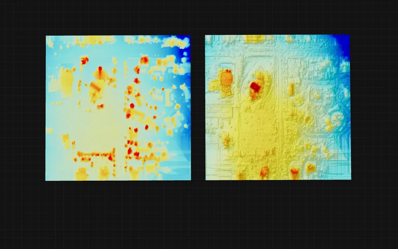
DSM / DTM
.tif, .geotiff, .jpg, .png
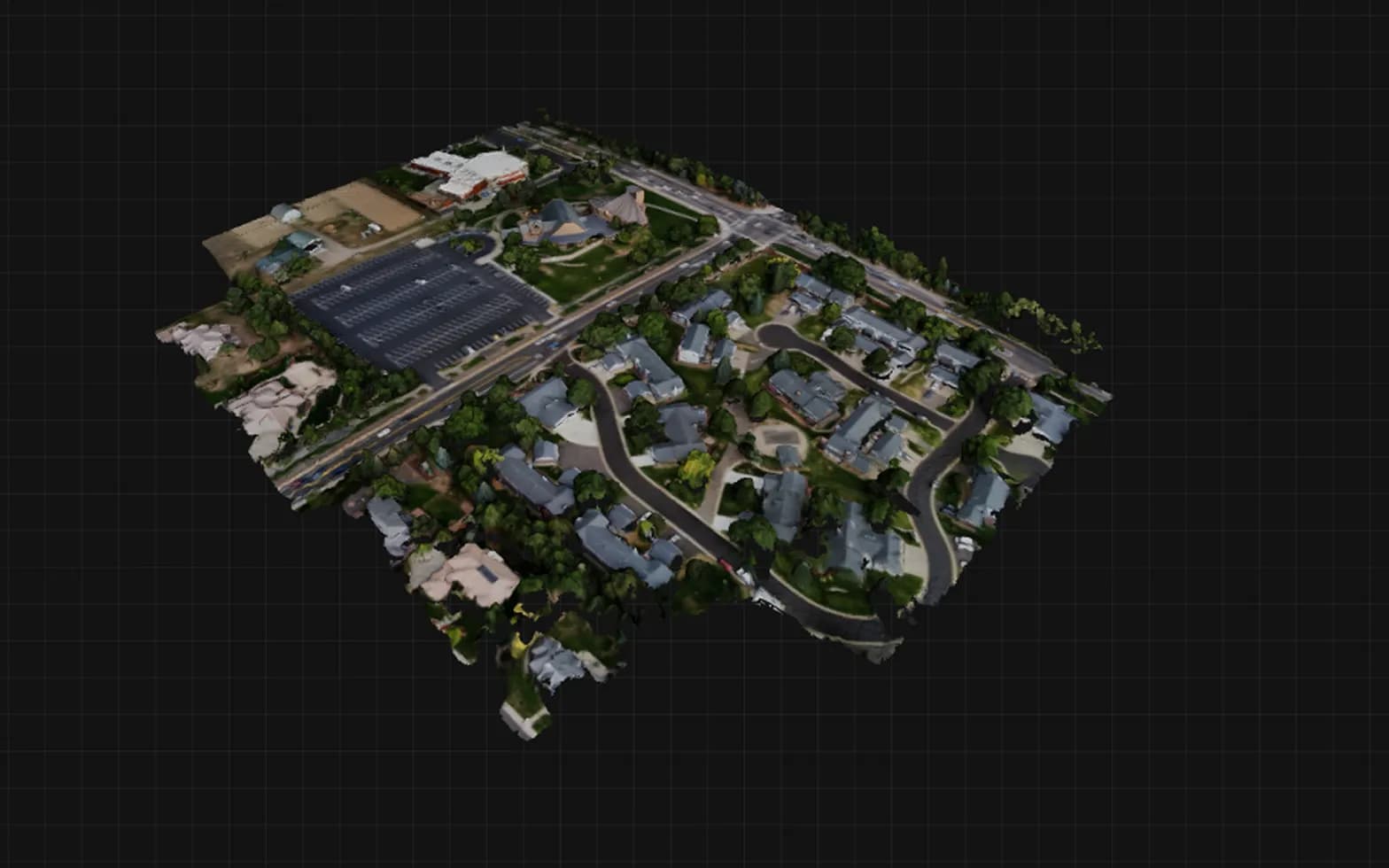
Point Cloud
.ply, .laz
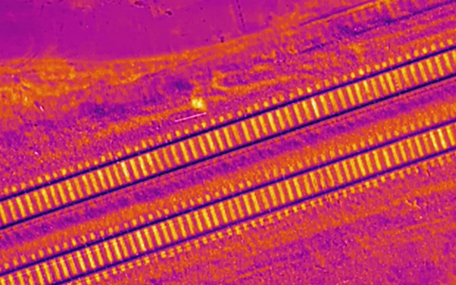
Thermal Maps
.obj, .ply